Real-time traffic data | A trending topic
Can you imagine only a couple of decades ago before the arrival of the internet, the only way of planning your trip was using a paper map and listening to the radio whether there were any traffic jams on your route. Today we buy a train ticket online or check the balance of our digital public transportation card, book our shared vehicle via an app and find the most efficient route provided by data from other users. All of this thanks to sharing data, real-time. Real-time data is collected and delivered instantly. There is no delay in the information provided. What are the latest trends and developments in real-time traffic data? In this article we have collected information from our community of experts providing you with information on five examples.
How is real-time traffic data collected?
Road sensors and cameras
Real-time traffic data is collected in different ways. Travel times and delays in traffic are monitored either via cameras scanning number plates or road sensors counting the number of cars in a certain period of time. This data is also used by traffic information systems and navigation systems.
Traffic flows, even cycle flows, are monitored and improved through the use of real-time data. Deodaat Boer of Cycledata explainshow cycling data can be detected without tracking smartphones: ‘Take the city of Utrecht; an intersection close to the central train station is one of the busiest in the world with over 35,000 people crossing it daily. You do not see children or elderly cycling in this area, because it is so busy. Cycledata delivers a data detection connection to iVRI for cyclists. Through the use of iVRI we can improve traffic flow for cyclists by giving priority over cars and offering them a green light quicker.’
Road sensors can improve our road safety and contribute to our environment. Bart Smolders of Heijmans explains how real-time data and tyre pressure can save lives. ‘In the Province of Noord-Brabant (NL) 40% of all accidents with trucks were caused by low tyre pressure. Based on our knowledge and experience, we link sensors in the road surface to a data platform. When driving over the road sensor, it indicates whether the pressure is good or too low. If the pressure is not OK, we send the chauffeur a message via matrix signs and in the future on the dashboard of in the cabin of the truck.’
Traffic information and navigation systems
Navigation systems help you find the fastest or most efficient route. Google Maps, TomTom or Flitsmeister make use of real-time traffic data based on sensors and other data information.
The Flitsmeister app (today part of Be-Mobile) was launched in 2009 informing drivers about the location of speed cameras. Be-Mobile uses Floating Car Data (FCD) from GPS systems in navigation systems and mobile phones. It also uses the Dutch national traffic data portal; a data feed with current data about road works and closures, but it also makes use of the feed with the image modes coming from matrix signs (think of speeds and red crosses) and bridge openings.
Thirdly the Flitsmeister app collects data provided by its community. The information is collected by the app users and combined with the other data. Thanks to this combination the driver is provided with the most actual and accurate traffic information. The collected data is used by several navigation systems and radio stations. During an episode of the Intertraffic webinars Jorn de Vries pointed out that Flitsmeister's 1.7 million users make an average of 40 million trips a month, creating 5 billion GPS points, including 20 million incident reports in 2019.
Today Flitsmeister is much more than an app with location data of speed cameras. Jorn de Vries: ‘We are a real-time digital traffic sign that assists all drivers to arrive at their destination safely and in the best way. Making drivers aware of a speed camera, actually helps people to lower speed. We signal a driver when an ambulance is approaching for it to pass safely. And we inform the driver when he or she is approaching a traffic jam or a dangerous situation such as stationary cars or a traffic accident, obstacle or construction work. We recently added parking. The app recognizes when you are in a parking zone and will ask if you want to activate a parking payment system. As soon as you start driving again, it will immediately send a notification to stop the parking payment.’
Real-time data in public transport
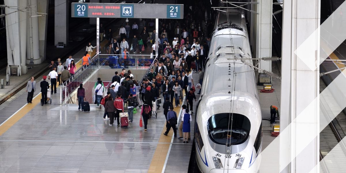
It is us, the people, who provide data. Since the outbreak of COVID-19, Dutch railway operator (NS) started motivating travellers to reserve their seat or let the operator know about their trip via the app. By providing these data, the traveller is able to see whether it is wise to travel in peak hour or not. This will motivate to travel outside peak hours or choose a different mode of transport.
Bus transport is monitored in a different way by a different party. As Chris de Veer of Province of North-Holland explains: ‘Bus transport in the Province of North-Holland is scheduled by the use of data. Thanks to the passenger who checks in and out via a digital card a signal is transmitted and the GPS system on the bus calculates the distance and travel fee. To determine the buses’ locations, data is collected centrally and sent back to displays to inform the traveller about any delay or estimated time of arrival. This data is open and used by several public transportation apps.’
Real-time data for parking reservation systems
When we choose to travel by car, we need to be able to park it. Touchless or Corona-proof parking…The industry has probably skipped ahead 10 years in terms of latest technology adoption in the last months. Being able to reserve your parking spot, check out and pay online gives other users insight in the availability. Hopefully improving the customer parking journey and decreasing congestion. A few trends were pointed out by our parking experts.
Cashless parking and digitisation is key. In the June 2020 Intertraffic webinar on optimising the customer parking journey through the use of data, Florian Schneeberger of SKIDATA pointed it out: 'On the one hand the efforts to digitalise the parking industry have been ramped up, there’s no doubt about that, but the need for safety and security has increased together with the move away from cash and away from anything you have to touch.'
Ben Boutcher-West of Appyway firmly believes that the COVID-19 crisis has accelerated the momentum towards smart kerbside management and in particular the automation of the kerbside. He insists that with home goods deliveries across Europe increased by up to 70% since the introduction of the lockdown restrictions but with large numbers of those deliveries being made by vehicles that have no choice but to double-park, the penetration of digital services cannot come quickly enough.
However, different countries have different legislation. Appyway tries to cooperate internationally and locally to bring together a commonality to how parking is digitised and then managed but this will take time. ‘Good parking does not need to wait for standardisation in policy. Cities should think about the common components parking needs in future such as sensing of availability, digital traffic regulation orders available as API’s, data warehouse for consumers to access and change management systems to ensure quality of data is maintainable.'
Another real-time parking trend identified by SKIDATA is to include parking as an integral part of Mobility as Service (MaaS) solutions. ‘Smart mobility like public transport and the offer of MaaS is the name of the game in cities,’ insists Schneeberger. A partnership between providers of different services will create a comprehensive and convenient customer journey. Another very important point is the possibility to book an EV-charge slot online and to ensure the customer’s electric vehicle is charged and ready to go at the end of the stay.’
MaaS - Mobility as a Service
Mobility as a Service or MaaS entails one mobility service platform or application which makes it possible to provide various modes of transport services on demand. Today we experience all kinds of applications for one or two modes of transport. However, MaaS could offer added value facilitating an integration of MaaS providers into one application offering real-time and on demand ride-, car-, or bike-sharing, public transport, and taxi or car-rental options to the user. Including payment and buying tickets.
Just as MaaS solutions were starting to gain traction across the world, COVID-19 struck and confined millions of customers to their homes. Customers who had previously been looking to become increasingly mobile and have ready-made solutions at their fingertips.
Ingrid Staffhorst, CEO of Hely: ‘COVID-19 has changed the way we travel completely, probably forever. When the pandemic started we thought we would be out of business in no-time as everyone was strongly advised to not leave their homes. However, for us the outcome was different. People were actively looking for alternative methods of transportation. Shared e-bikes were no longer seen as a vehicle for lazy people or a temporary replacement for your own bike, but as a safe, healthy option for short trips instead of public transport. Besides that, for longer trips people substituted the train with a shared car.’
However, there are challenges still remaining. Different parties, both public and private, collect data, which makes MaaS hard to develop. On top of that all the data has to be secured.
As with many transport- and transit-related arguments, it’s all about the data. Tom van Dam, Smart Mobility Project Manager at ITS Connekt hopes we will become more confident. ‘Vehicle data is a ‘Wild West’ territory that consumers and politicians don't yet dare to touch for numerous reasons, but mainly because of lack of knowledge and fear of unpredictable outcomes. Privacy and cyber threats are amongst our concerns. We have the ability to keep any unwanted visitors or potential spoilers of the party out of the data kitchen.’
Related content:
Mobility as a Service: Adapt to Survive
Speeding up the mobility transition in cycling with Cycledata
Speeding up the mobility transition in smart infrastructure with Heijmans
Webinar on measures post-Corona traffic congestions
Speeding up the mobility transition in traffic management with Flitsmeister
Read more about the topic of big data
Share your story
Do you have an innovation, research results or an other interesting topic you would like to share with the professionals in the infrastructure, traffic management, safety, smart mobility and parking industry? The Intertraffic website and social media channels are a great platform to showcase your stories!
Please contact our Sr Brand Marketing Manager Carola Jansen-Young.
Are you an Intertraffic exhibitor?
Make sure you add your latest press releases to your Company Profile in the Exhibitor Portal for free exposure.


