How will drone traffic be managed?
Urban air mobility is widely believed to be the next era of transportation – with Intertraffic Amsterdam collocated with Amsterdam Drone Week. But before we can all start zipping around at low altitudes, the challenges of managing this new kind of traffic must be solved.
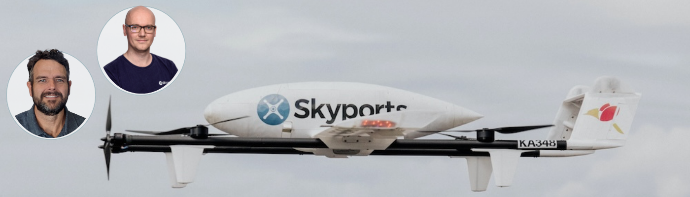
The drone industry aspires to a future of high-frequency operations in low-altitude airspace shared by multiple operators. Today in Singapore, drone operator Skyports Drone Services relies on an informal daily sharing of flight plans for strategic deconfliction with other operators. However, the company recognises the need for a more automated system to support a scalable commercial ecosystem.
“Well-programmed systems make fewer mistakes than humans,” says Jef Geudens, head of technology at Skyports. “Commercial success will require each pilot to monitor 10-20 aircraft, becoming an airspace manager. We can only reach that scale with a fully automated system for deconfliction. Neither are narrowly segregated operations likely to prove viable. If drones only operate in narrow corridors, we may as well use delivery vans. Commercial operations require wider areas of airspace controlled by automated systems.”
“If drones only operate in narrow corridors, we may as well use delivery vans”
Jef Geudens, head of technology, Skyports
Hence the development of Unmanned Aircraft System Traffic Management (UTM) systems to deconflict airspace shared by many drones and potentially, manned aviation. Skyports’ UTM partner is OneSky. The company’s dynamic UTM system grew out of the same technology used to prevent collisions between commercial satellites. OneSky’s UTM system integrates manned and unmanned aviation by providing an interface between drones and ANSPs [air navigation service providers] that enables the latter to manage drone traffic.
“We help the ANSPs responsible for crewed aviation understand the framework needed to control drones in their airspace,” explains Chris Kucera, head of strategic partnerships at OneSky. “Our UTM system passes authoritative ANSP data to drone operators. It can represent the operator’s flight-plan and get it authorised by the ANSP. It is essentially a broker of data between the drone and air traffic management (ATM).”
OneSky’s Operations Centre meanwhile provides an interface for drone operators to plug into the system. Strategic deconfliction between multiple operators is achieved solely by sharing flight plans over the internet.
“Drones come into a world built for larger aircraft and devoid of infrastructure supporting low-altitude flight,” says Kucera. “NASA invented UTM to avoid building infrastructure everywhere. People who want to fly safely should communicate their intent. If everything in the sky is networked, we can do strategic deconfliction by sharing that information. In time, that may evolve into tactical deconfliction based on real-time tracking.”
Drone air traffic control
OneSky first flight-tested its system in Australia, then in Singapore for three years. In the USA, it participated in four NASA pilot programmes and further FAA trials to mature the technology. NASA’s advanced tests involved upwards of two dozen drones flying simultaneously, though some are more real than others.
“Early tests had just one or two live vehicles,” says Kucera. “Later, we had eight UTM companies each controlling their own drones and doing strategic deconfliction. But flying drones is costly, so tests usually involve both live and simulated vehicles. After 10 years, our mature systems for strategic deconfliction have been proven in operations.”
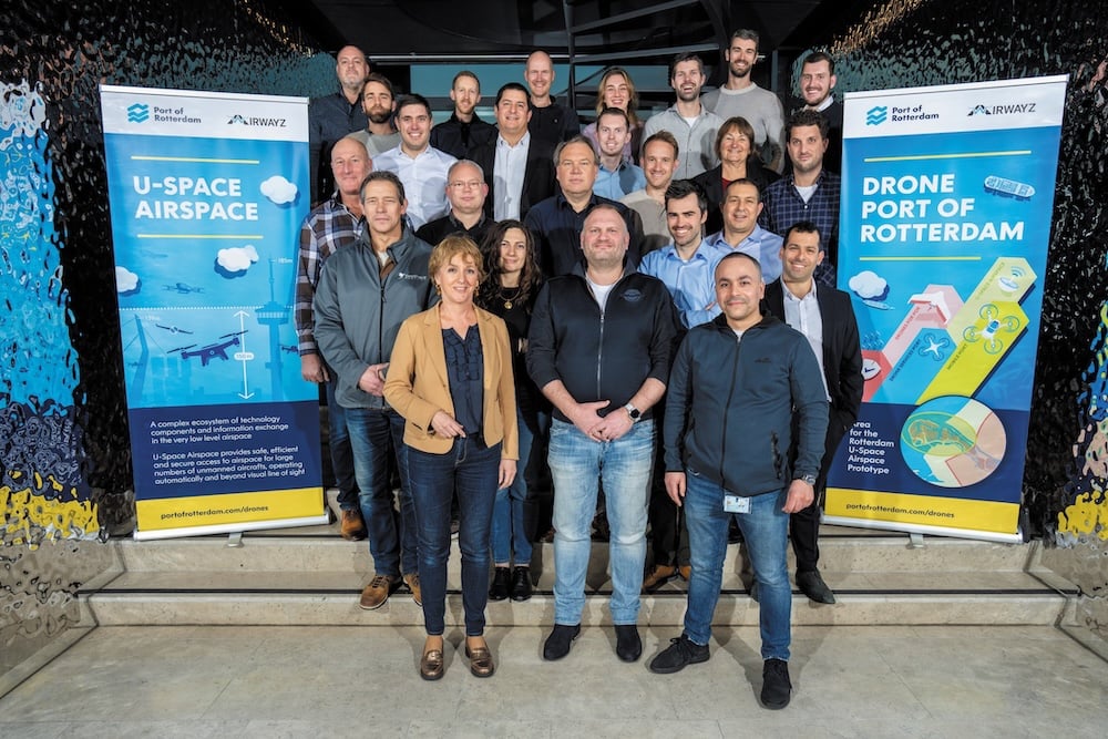
The European Union Aviation Safety Agency (EASA) defines U-Space as a set of digital and automated services to enable safe integration of drones and manned aviation in a volume of airspace.

In October 2022, the Port of Rotterdam Authority (PoR) assumed control of its airspace from LNVL, the Dutch ANSP, for a two-year U-Space prototype project using the Airwayz Dynamic UTM system.
“Rotterdam is the largest seaport in the Western world,” says Airwayz CEO, Eyal Zor. “They already have 20 drone operators doing search and rescue, inspection, asset monitoring and policing. Previously, the approach was segregation and hoping for the best. This project aims to improve safety and enable a greater volume of activities.”
Integration into the Airwayz UTM requires each operator to adopt a software layer called the unmanned aerial vehicle operating system (UAVOS) to manage multiple drones. The UAVOS submits flight plans to the UTM for checking and approval. The UTM also monitors in real time to prevent potential crashes.
“We don’t believe in static corridors or segregation, because you quickly run out of airspace,” says Tomer Sorek, business manager at Airwayz. “Dynamic airspace is complex and requires constant monitoring. The UAVOS communicates with our server and we connect to the PoR Robin radar system. If something changes, we recalculate everything in proximity and if necessary reroute one of the parties. It’s like a control tower talking to pilots, but with systems talking to each other.”
“It’s like a control tower talking to pilots, but with systems talking to each other”
Tomer Sorek, business manager, Airwayz
Shipping opportunities
Airwayz is working with LVNL and the Dutch Aerospace Centre (NLR) on UTM-ATM integration. In Rotterdam, drones may avoid collisions with helicopters flying at low altitude by dynamic airspace reconfiguration. When a helicopter communicates its intended flight-path, the UTM system will temporarily close that section of airspace to drones until the helicopter has passed.
Planned integration with Harbormaster systems will help the UTM understand the position and movement of ships, not merely as obstacles but as targets for inspection or landing. Airwayz aspires to extend its drone services to anchored ships in the English Channel.
Launched in November 2022, U-Elcome is a European project, involving 51 partners across three countries, aiming to support the implementation of services for the safe and secure integration of drones. It will run for three years. In 2023, it created three national clusters enabling iterative development of local ecosystems and expects flight testing to increase in 2024.
In Spain, U-Elcome has seen flights associated with firefighting, police and harbor applications while in Italy, a flight campaign to include antenna inspections is underway. U-Elcome’s end goal is to ensure routine drone operations across Europe by 2026.
Meanwhile in the UK, Project Skyway aims to establish a 165-mile (265km) BVLOS (beyond visual line of sight) drone corridor. It is led by Altitude Angel, whose UTM platform will handle flight approval and deconfliction in conjunction with ground-based sensors to detect and identify drones. UK telecoms provider BT previously led Project Accelerate, a precursor to Skyway, and will explore how its extensive telecoms infrastructure could be leveraged to support U-Space operations.
“Our masts and structures could carry detection devices looking at the sky to provide situational awareness,” says BT’s drone director, Dave Pankhurst. “That information could be communicated over our network then ingested and fused with known information by Altitude Angel’s platform.
“If something has changed, they begin deconflicting flight plans. Our existing mobile network can provide communications to the drones themselves for command and control and returning video imagery.”
BVLOS flights could be tracked using drone-mounted devices or through software integration between UTM platforms and drone control stations. But another solution is the deployment of ground-based surveillance infrastructure, which has the advantage of detecting non-collaborative vehicles. This could be achieved by radar or so-called sniffers, which detect radio frequency signals from drones.
Interactions with other aircraft
In the UK, BVLOS flights are only permitted for three-month periods in segregated temporary danger areas (TDAs) after an approval process taking many months. Skyports is working with the UK’s Civil Aviation Authority (CAA) to transition TDAs to a temporary reserved areas (TRAs) shared by drones and other aircraft, then transponder mandatory zones (TMZ) where any suitably-equipped aircraft may fly. Project Skyway likewise aims to reduce BVLOS entry barriers.
“Once we prove one level of safety, the CAA may consider the depth of detect-and-avoid technology required for given locations,” says Pankhurst. “Eventually, operators could obtain approval to fly because they’re using a UTM system proven to be safe, rather than gathering two years of safety evidence and building their own ground-based detect-and-avoid systems.”
European ATM overseer Eurocontrol notes a need for early collaboration with national authorities usually approving BVLOS corridors for the first time. But often underfunded regulators are trying to chase a fast-evolving drone market. This results in chicken-and-egg roadblocks.
“A drone using UTM solves one side of the problem. But it’s hard to fly drones unless we also know where manned aircraft are,” saus Kucera. “That may require electronic conspicuity mandates stating that any aircraft flying below 400ft must report its position. Not all aviators want that, but it’s the only way to ensure safety. Everything is based on assumptions. It’s about how we make small steps with a little chicken, a little egg, a little more chicken until eventually, we get there.”
This article was first published in Intertraffic World 2024
Share your story
Do you have an innovation, research results or an other interesting topic you would like to share with the professionals in the infrastructure, traffic management, safety, smart mobility and parking industry? The Intertraffic website and social media channels are a great platform to showcase your stories!
Please contact our Sr Brand Marketing Manager Carola Jansen-Young.
Are you an Intertraffic exhibitor?
Make sure you add your latest press releases to your Company Profile in the Exhibitor Portal for free exposure.